Summits
Maulin
(Málainn)
| Height: | 570m (1870ft) |
|---|---|
| County: | Wicklow |
| Province: | Leinster |
| Country: | Republic of Ireland |
| Range: | Wicklow Mountains |
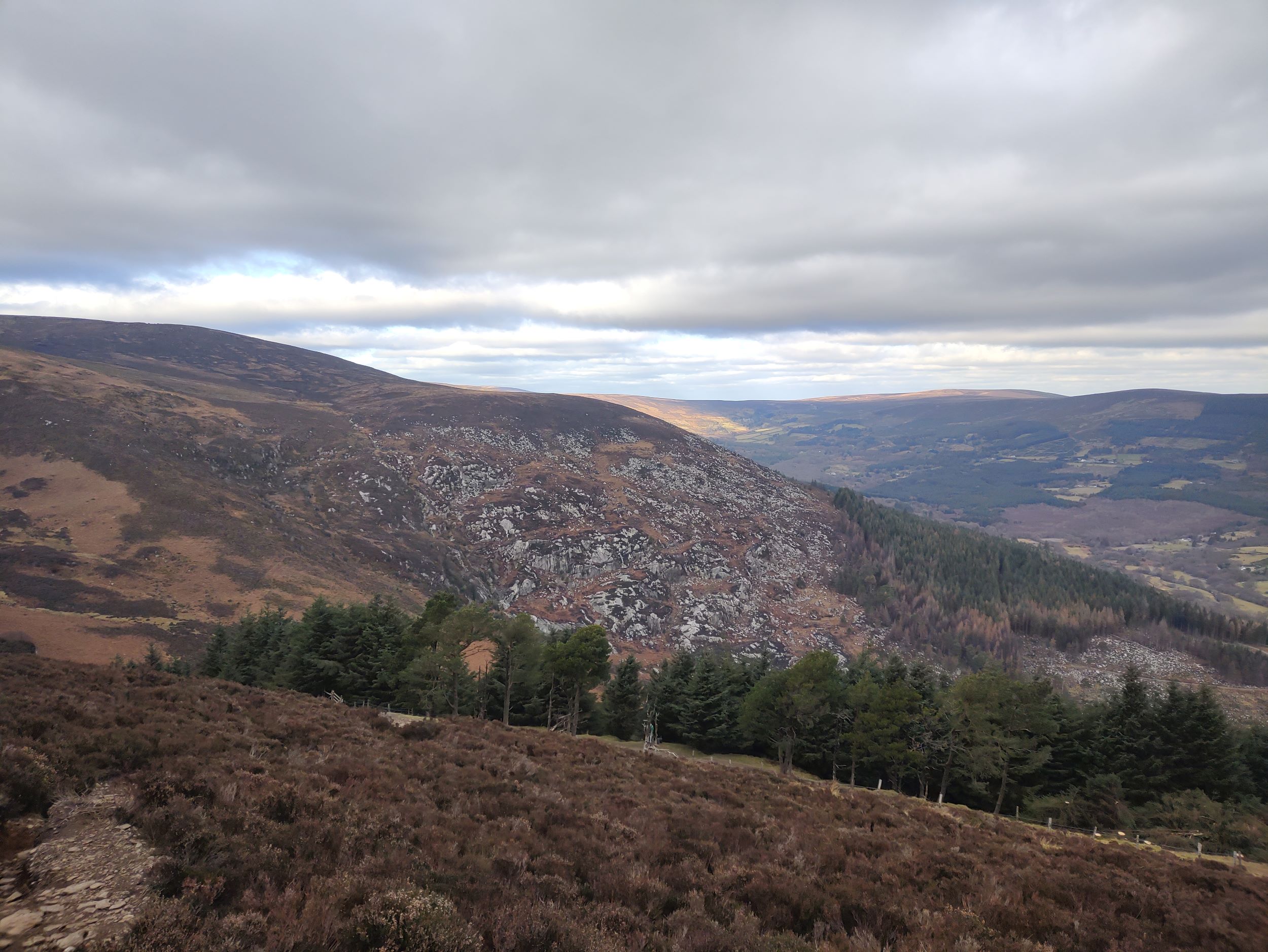
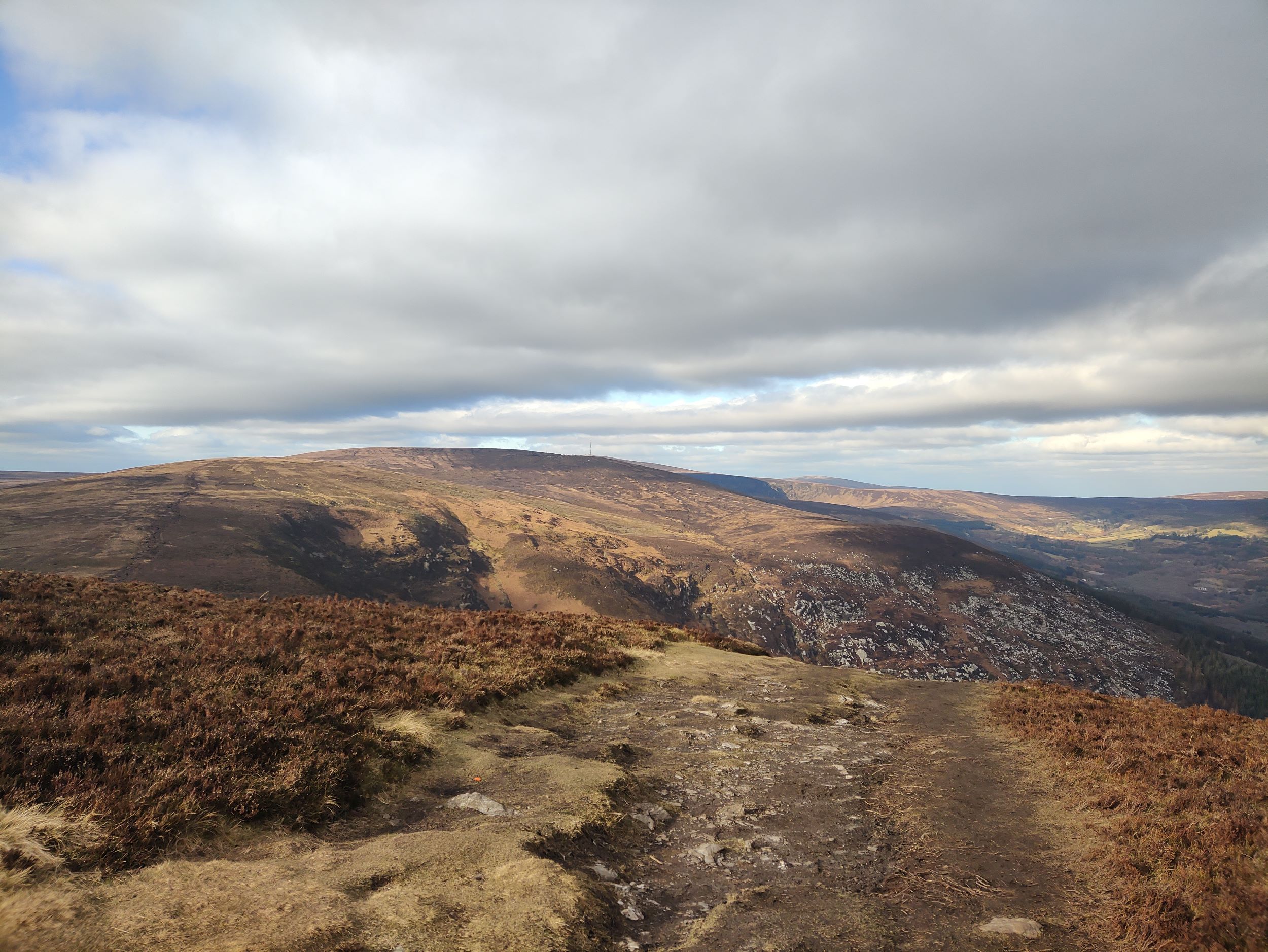
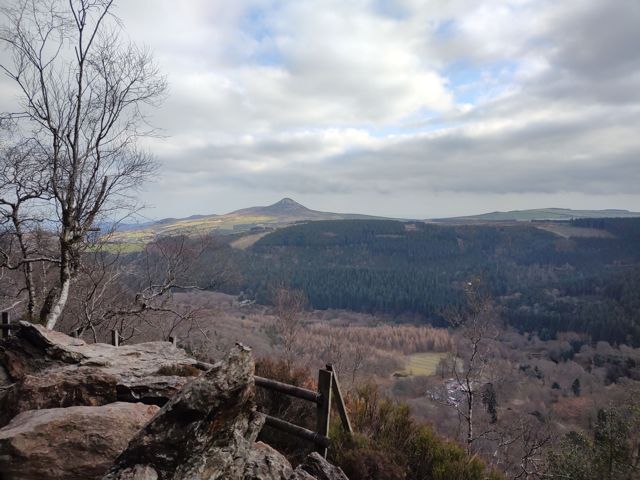
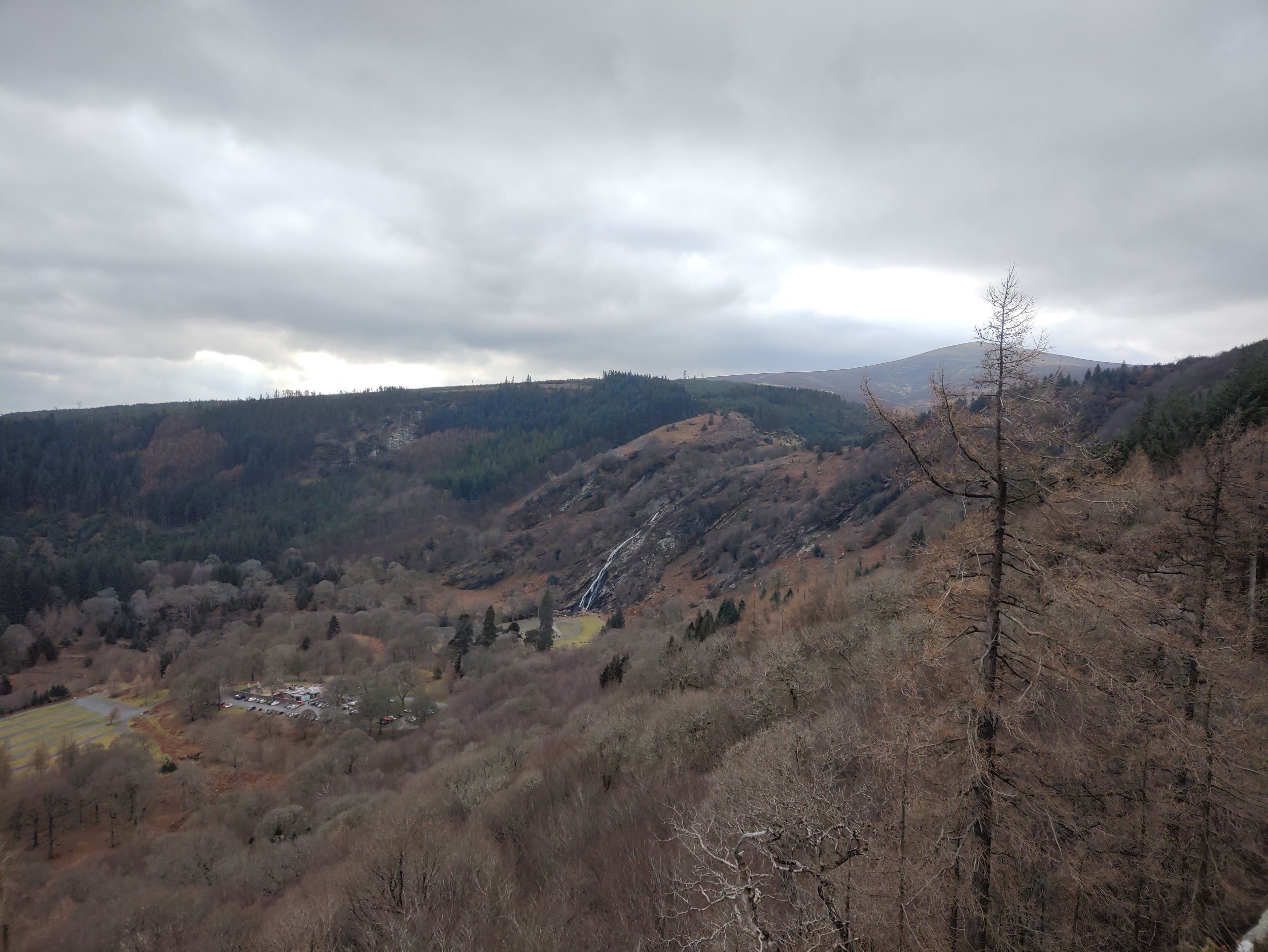
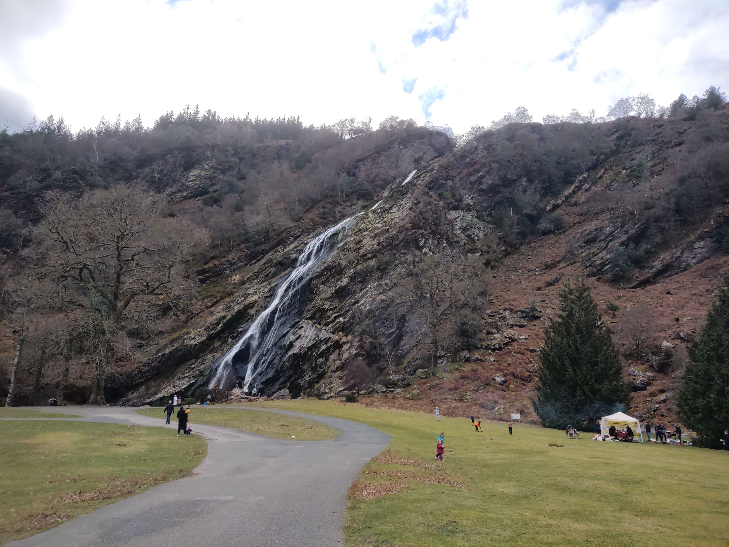
Maulin is the 272nd-highest peak in Ireland on the Arderin scale, however, being below 600 m it does not rank on the Vandeleur-Lynam or Hewitt scales. Maulin is in the far northeastern section of the Wicklow Mountains, at the mouth of Glensoulan Valley; Powerscourt Waterfall lies at its base.
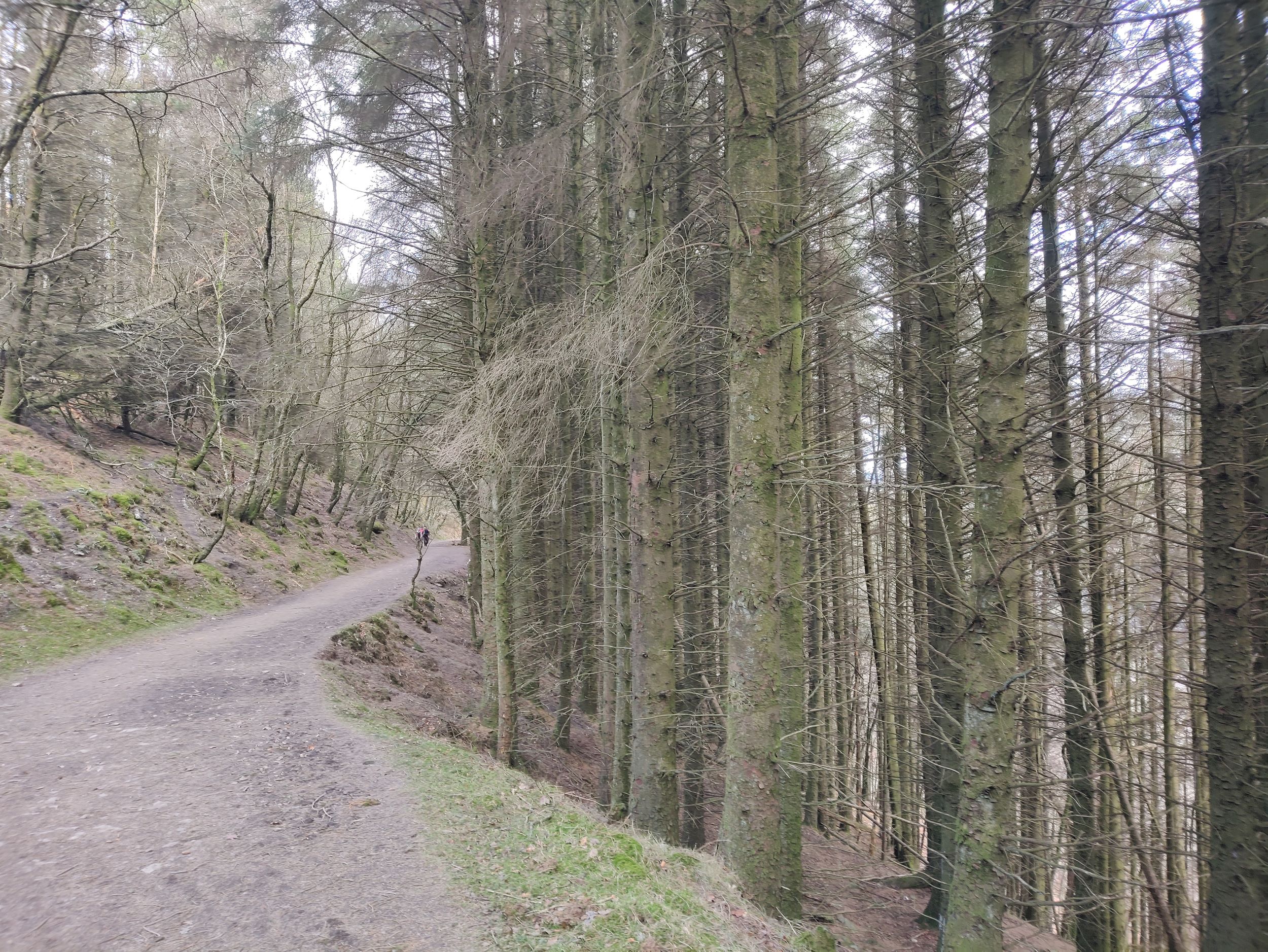
Maulin is accessed from the trails through Crone Woods, a Sitka spruce plantation on its northern slopes; Maulin is also accessible just off the main Wicklow Way. Maulin is often climbed as part of a "loop route" called the Circuit of Glensoulan which starts at Crone Woods car-park, and complete a 16-kilometre loop of Maulin, Tonduff 642 metres (2,106 ft), War Hill 686 metres (2,251 ft), and Djouce 725 metres (2,379 ft), and then returning to Crone Woods car-park.
found hikes: 1
Maulin and Powerscourt Waterfall - Loop Trail
| Hiking Date: | 2023-02-12 |
|---|---|
| Hike Difficulty: | Strenuous |
| Hike Distance: | 11.95 km |
| Hike Ascent: | 550 m |
| Hike Time: | 3h45m |
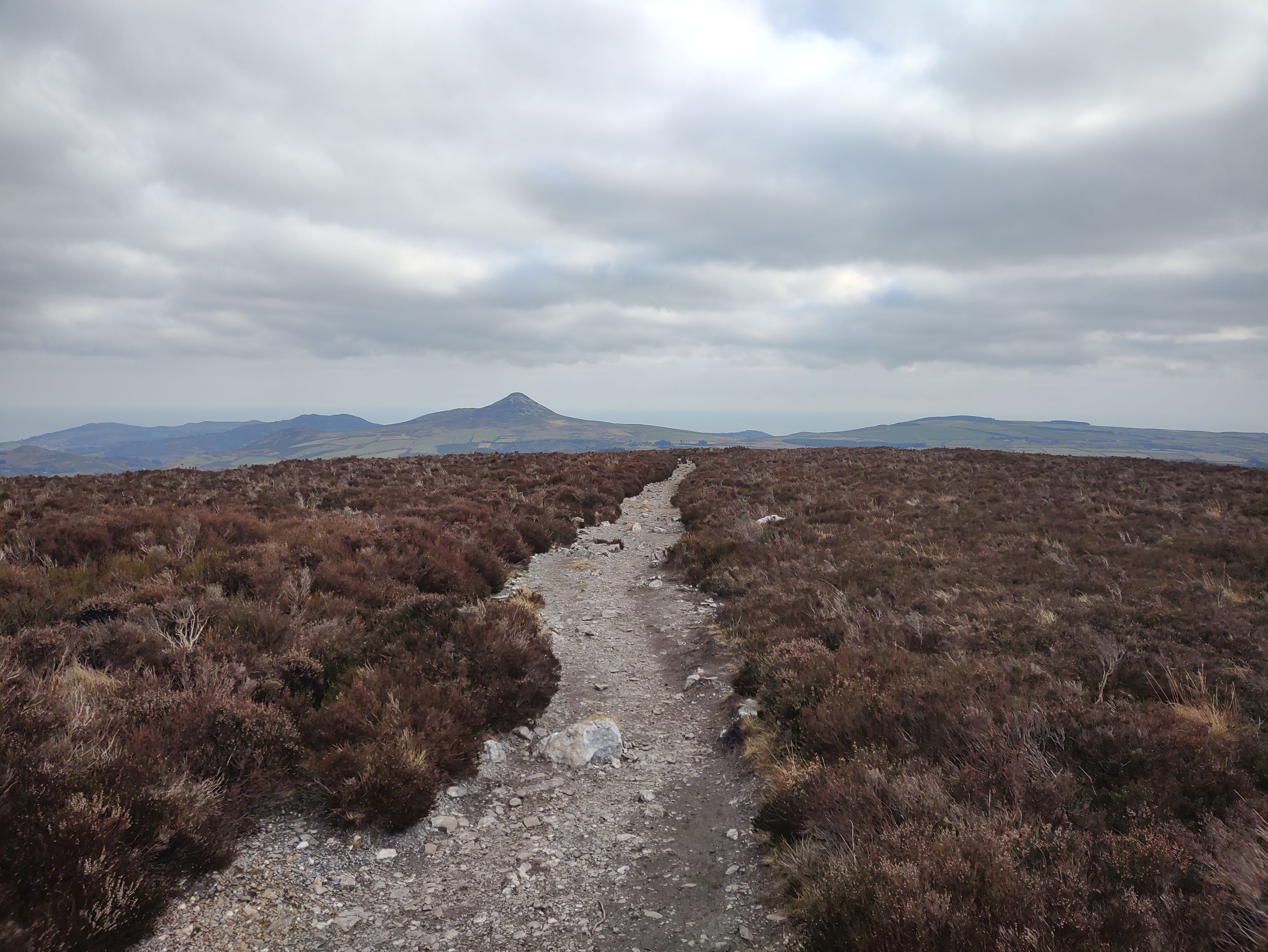
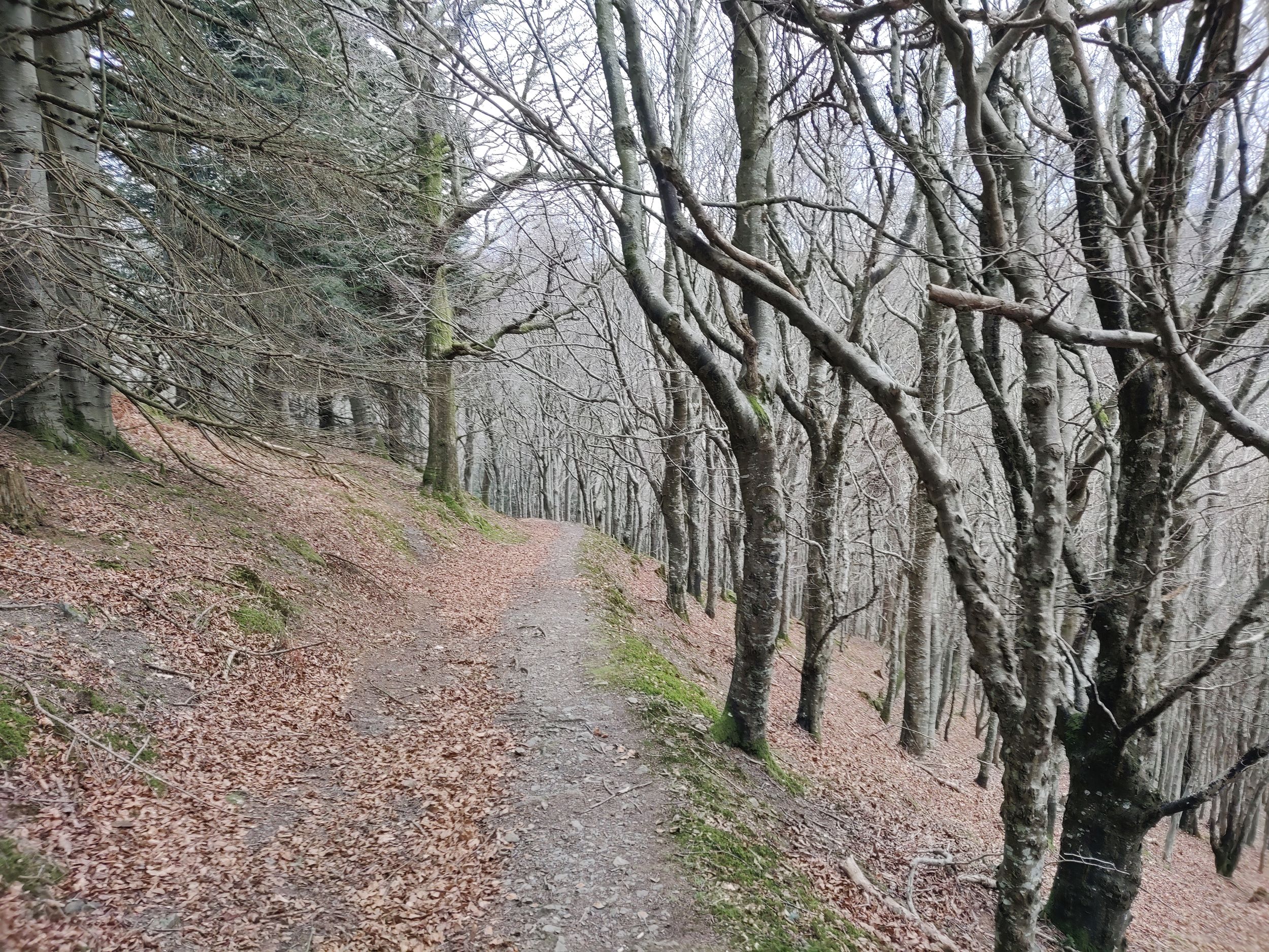
| Route Surface: | Quite well-maintained walking route. It may be muddy after rain. |
| Parking: | The car park is located at Crone Woods |
| Parking GPS location: | 53.165073, -6.217856 |

Added 2023-11-22